Geolocate

Healey topographic map

Click on the map to display elevation.

About this map
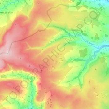
Name: Healey topographic map, elevation, terrain.

Location: Healey, Harrogate, North Yorkshire, England, United Kingdom (54.17489 -1.88616 54.24246 -1.71031)

Average elevation: 221 m

Minimum elevation: 64 m

Maximum elevation: 436 m

Gear up for your next adventure:

🧥Thermal Emergency Blankets - Compact Mylar blankets to prevent hypothermia if stranded overnight
🦘Outback Survival Gear - Essential gear for Australian outback
🖼️Scratch-off Australia Map - Track the regions and peaks you have explored geographically
🕯️Emergency Whistles - Safety whistles for hiking
👟Lightweight Trail Runners - Agile footwear for fast movement over rugged Australian terrain

As an Amazon Associate, this site earns from qualifying purchases at no extra cost to you.