
Make a donation
Gear up for your next adventure:
As an Amazon Associate, this site earns from qualifying purchases at no extra cost to you.
Langshan topographic map
Click on the map to display elevation.
Make a donation
Gear up for your next adventure:
As an Amazon Associate, this site earns from qualifying purchases at no extra cost to you.
Langshan
Langshan or Mount Lang (Chinese: 崀山) is a mountain and a scenic area in Xinning County, Hunan, China. It is described on the local signage as a "world famous UNESCO geopark of China" and was inscribed as part of the China Danxia World Heritage Site in 2010 because of its unique geological formations and spectacular scenery. Its peak elevation is 818 metres (2,684 ft).
Make a donation
Gear up for your next adventure:
As an Amazon Associate, this site earns from qualifying purchases at no extra cost to you.
About this map
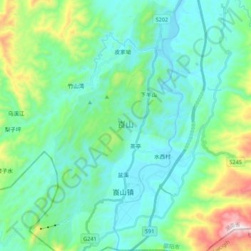
Name: Langshan topographic map, elevation, terrain.
Location: Langshan, Xiabanshan, Xinning County, Shaoyang, Hunan, China (26.26141 110.72440 26.40215 110.83083)
Average elevation: 503 m
Minimum elevation: 295 m
Maximum elevation: 1,307 m
Make a donation
Gear up for your next adventure:
As an Amazon Associate, this site earns from qualifying purchases at no extra cost to you.