Geolocate

Pipiroa topographic map

Click on the map to display elevation.

About this map

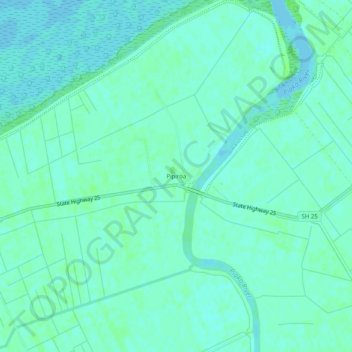
Name: Pipiroa topographic map, elevation, terrain.

Location: Pipiroa, Hauraki District, Waikato, 3500, New Zealand (-37.23501 175.46559 -37.19501 175.50559)

Average elevation: 4 m

Minimum elevation: -2 m

Maximum elevation: 8 m

Other topographic maps

Click on a map to view its topography, its elevation and its terrain.

Gear up for your next adventure:

🧭Global Orienteering Compass - High-precision liquid-filled compasses for accurate map reading and navigation
🚴Cycling Backpacks - Backpacks for cyclists
GPS Watches - GPS watches for outdoor sports
📕Australia Maps - Maps covering Australian regions
Survival Blankets - Emergency thermal blankets

As an Amazon Associate, this site earns from qualifying purchases at no extra cost to you.