
Nendö topographic map
Interactive map
Click on the map to display elevation.
About this map
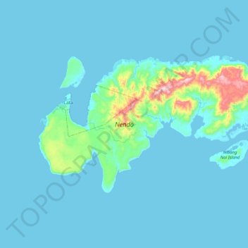
Name: Nendö topographic map, elevation, terrain.
Location: Nendö, Lata, Temotu Province, Islas Salomón (-10.86662 165.74987 -10.65012 166.14738)
Average elevation: 39 m
Minimum elevation: -2 m
Maximum elevation: 538 m