
Lac Lemery topographic map
Interactive map
Click on the map to display elevation.
About this map
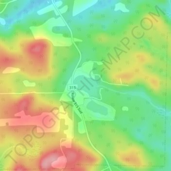
Name: Lac Lemery topographic map, elevation, terrain.
Location: Lac Lemery, Montpellier, Papineau, Outaouais, Québec, Canada (45.83692 -75.15991 45.84019 -75.15447)
Average elevation: 258 m
Minimum elevation: 199 m
Maximum elevation: 329 m