
Cerro Cotoño topographic map
Interactive map
Click on the map to display elevation.
About this map
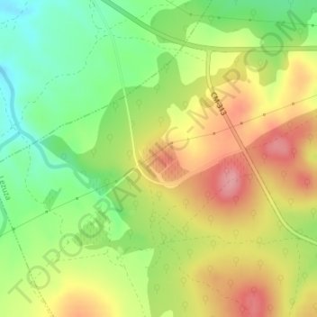
Name: Cerro Cotoño topographic map, elevation, terrain.
Location: Cerro Cotoño, Lezuza, Albacete, Kastilien-La Mancha, Spanien (38.99669 -2.44486 39.01669 -2.42486)
Average elevation: 999 m
Minimum elevation: 943 m
Maximum elevation: 1,057 m