
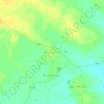
Ban Khok Sa-at topographic map
Interactive map
Click on the map to display elevation.
About this map
Name: Ban Khok Sa-at topographic map, elevation, terrain.
Location: Ban Khok Sa-at, Chaiyaphum Province, Thailand (16.38933 101.97436 16.42933 102.01436)
Average elevation: 226 m
Minimum elevation: 214 m
Maximum elevation: 239 m