
Saint-Christophe-en-Oisans topographic map
Interactive map
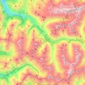
Click on the map to display elevation.
About this map
Name: Saint-Christophe-en-Oisans topographic map, elevation, terrain.
Average elevation: 2,538 m
Minimum elevation: 933 m
Maximum elevation: 4,018 m