Geolocate

Ames topographic map

Click on the map to display elevation.

About this map

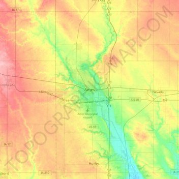
Name: Ames topographic map, elevation, terrain.

Location: Ames, Story County, Iowa, 50010, United States (41.86677 -93.77706 42.18677 -93.45706)

Average elevation: 308 m

Minimum elevation: 256 m

Maximum elevation: 360 m

Gear up for your next adventure:

🛌Sleeping Mats - Insulated mats for camping comfort
🧤Hiking Gloves - Protective gloves for outdoor use
🔌Fast Charging Adapters - Quickly top up all your gear before heading back into the field
🧦Merino Wool Hiking Socks - Moisture-wicking socks to prevent blisters during long topographic surveys
🛰️Handheld GPS Units - Rugged GPS devices for tracking coordinates and elevation in the Australian bush

As an Amazon Associate, this site earns from qualifying purchases at no extra cost to you.