
二子 topographic map
Interactive map
Click on the map to display elevation.
About this map
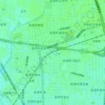
Name: 二子 topographic map, elevation, terrain.
Location: 二子, Ichinomiya, Prefectura de Aichi, 中部地方, Japón (35.28045 136.75983 35.28587 136.76859)
Average elevation: 7 m
Minimum elevation: 2 m
Maximum elevation: 11 m