
الشرقية topographic map
Interactive map
Click on the map to display elevation.
About this map
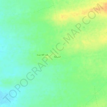
Name: الشرقية topographic map, elevation, terrain.
Location: الشرقية, Al Marawi'ah District, الحديدة, Jemen (14.87470 43.10318 14.91470 43.14318)
Average elevation: 72 m
Minimum elevation: 59 m
Maximum elevation: 90 m