
Gualda topographic map
Interactive map
Click on the map to display elevation.
About this map
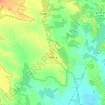
Name: Gualda topographic map, elevation, terrain.
Location: Gualda, Lérida, Segriá, Lérida, Cataluña, España (41.64315 0.60904 41.64841 0.61406)
Average elevation: 183 m
Minimum elevation: 161 m
Maximum elevation: 210 m
Other topographic maps
Click on a map to view its topography, its elevation and its terrain.