
Bradwood topographic map
Interactive map
Click on the map to display elevation.
About this map
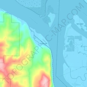
Name: Bradwood topographic map, elevation, terrain.
Location: Bradwood, Clatsop County, Oregon, United States (46.17678 -123.45902 46.21678 -123.41902)
Average elevation: 48 m
Minimum elevation: -3 m
Maximum elevation: 247 m