
Ban Phontiou topographic map
Interactive map
Click on the map to display elevation.
About this map
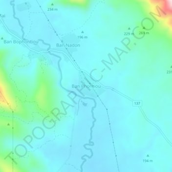
Name: Ban Phontiou topographic map, elevation, terrain.
Location: Ban Phontiou, Hineboune District, Khammouane, Laos (17.87215 104.58988 17.91215 104.62988)
Average elevation: 199 m
Minimum elevation: 152 m
Maximum elevation: 505 m