
Flemington topographic map
Interactive map
Click on the map to display elevation.
About this map
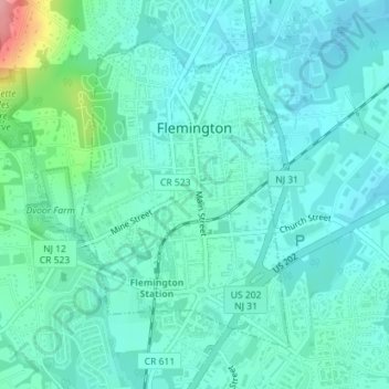
Name: Flemington topographic map, elevation, terrain.
Location: Flemington, Hunterdon County, New Jersey, United States (40.49776 -74.86949 40.51911 -74.85050)
Average elevation: 56 m
Minimum elevation: 35 m
Maximum elevation: 149 m