Geolocate

Rew topographic map

Click on the map to display elevation.

About this map

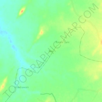
Name: Rew topographic map, elevation, terrain.

Location: Rew, Karera Tahsil, Shivpuri district, Madhya Pradesh, India (25.56395 78.28318 25.60395 78.32318)

Average elevation: 246 m

Minimum elevation: 230 m

Maximum elevation: 268 m

Gear up for your next adventure:

📍Handheld GPS - GPS devices for hiking and navigation
🧤Hiking Gloves - Protective gloves for outdoor use
🔥Camping Stoves - Portable stoves for outdoor cooking
🧼Clip-on Hand Sanitizer - Maintain hygiene when water for washing is scarce
🚴Cycling Backpacks - Backpacks for cyclists

As an Amazon Associate, this site earns from qualifying purchases at no extra cost to you.