
Keba topographic map
Interactive map
Click on the map to display elevation.
About this map
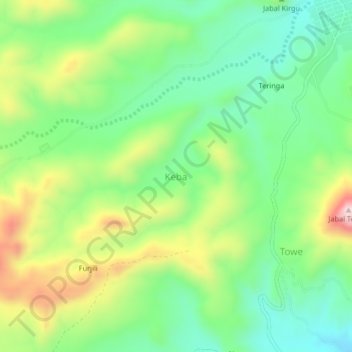
Name: Keba topographic map, elevation, terrain.
Location: Keba, Nyala, South Darfur State, Sudan (13.03898 24.48005 13.07898 24.52005)
Average elevation: 1,574 m
Minimum elevation: 1,416 m
Maximum elevation: 1,850 m