
Batcha topographic map
Interactive map
Click on the map to display elevation.
About this map
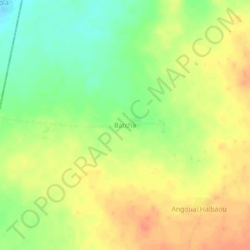
Name: Batcha topographic map, elevation, terrain.
Location: Batcha, Matamèye, Zinder, Niger (13.26682 8.30708 13.30682 8.34708)
Average elevation: 460 m
Minimum elevation: 436 m
Maximum elevation: 479 m