
Tasikagung topographic map
Interactive map
Click on the map to display elevation.
About this map
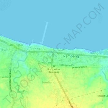
Name: Tasikagung topographic map, elevation, terrain.
Location: Tasikagung, Rembang, Central Java, 59219, Indonesia (-6.72498 111.32227 -6.68498 111.36227)
Average elevation: 8 m
Minimum elevation: 0 m
Maximum elevation: 23 m