
Werro topographic map
Interactive map
Click on the map to display elevation.
About this map
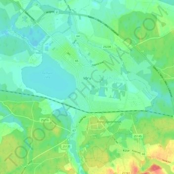
Name: Werro topographic map, elevation, terrain.
Location: Werro, Kreis Werro, Estland (57.80661 26.96203 57.86456 27.05223)
Average elevation: 80 m
Minimum elevation: 63 m
Maximum elevation: 121 m