
Ziegra topographic map
Interactive map
Click on the map to display elevation.
About this map
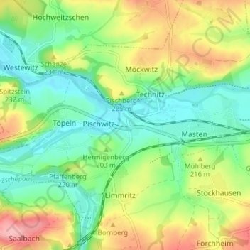
Name: Ziegra topographic map, elevation, terrain.
Location: Ziegra, Schweta, Mittelsachsen, Sachsen, Deutschland (51.10688 13.03381 51.14688 13.07381)
Average elevation: 201 m
Minimum elevation: 155 m
Maximum elevation: 276 m