
Kedarnath Wildlife Sanctuary topographic map
Interactive map
Click on the map to display elevation.
About this map
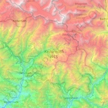
Name: Kedarnath Wildlife Sanctuary topographic map, elevation, terrain.
Average elevation: 3,285 m
Minimum elevation: 748 m
Maximum elevation: 7,094 m