Geolocate

Swartout topographic map

Click on the map to display elevation.

About this map

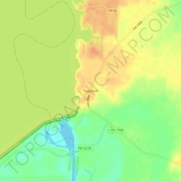
Name: Swartout topographic map, elevation, terrain.

Location: Swartout, Polk County, Texas, United States (30.61853 -95.02494 30.65853 -94.98494)

Average elevation: 38 m

Minimum elevation: 15 m

Maximum elevation: 54 m

Gear up for your next adventure:

🎒Tactical Waist Packs - Quick access to your compass, phone, and snacks while walking
🔥Ferrocerium Rod Fire Starters - Reliable fire lighting in wet or windy conditions without matches
📚Map Reading & Navigation Guides - Master the art of interpreting topographic contours and symbols
🔦Powerful LED Headlamps - Hands-free lighting for night navigation and setting up camp after dark
🎒Daypacks - Compact backpacks for short hikes

As an Amazon Associate, this site earns from qualifying purchases at no extra cost to you.