
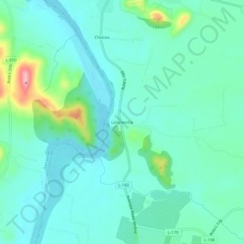
Loncomilla topographic map
Interactive map
Click on the map to display elevation.
About this map
Name: Loncomilla topographic map, elevation, terrain.
Location: Loncomilla, Provincia de Linares, Región del Maule, Chile (-35.66939 -71.76726 -35.62939 -71.72726)
Average elevation: 100 m
Minimum elevation: 69 m
Maximum elevation: 217 m