Geolocate

Camber topographic map

Click on the map to display elevation.

About this map

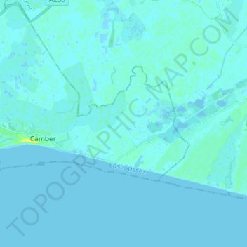
Name: Camber topographic map, elevation, terrain.

Location: Camber, Rother, East Sussex, England, United Kingdom (50.92203 0.74663 50.95762 0.86786)

Average elevation: 1 m

Minimum elevation: -3 m

Maximum elevation: 18 m

Gear up for your next adventure:

🧥Softshell Jackets - Flexible outdoor jackets
🎒40L Day Hiking Backpacks - Comfortable packs with hydration support for long days exploring topographic peaks
📦Crushproof Equipment Cases - Safe transport for sensitive surveying and mapping instruments
🚴Cycling Backpacks - Backpacks for cyclists
📸Action Cameras - Record your journey across interesting topographic features in 4K

As an Amazon Associate, this site earns from qualifying purchases at no extra cost to you.