
Ashens topographic map
Click on the map to display elevation.
About this map
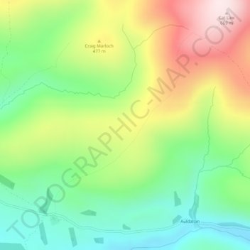
Name: Ashens topographic map, elevation, terrain.
Location: Ashens, Angus, Scotland, DD8 5JT, United Kingdom (56.71349 -3.14478 56.73349 -3.12478)
Average elevation: 396 m
Minimum elevation: 207 m
Maximum elevation: 671 m
Other topographic maps
Click on a map to view its topography, its elevation and its terrain.