
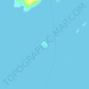
Hart Island topographic map
Interactive map
Click on the map to display elevation.
About this map
Name: Hart Island topographic map, elevation, terrain.
Location: Hart Island, Saint George, Knox County, Maine, United States (43.90343 -69.26731 43.90575 -69.26406)
Average elevation: 0 m
Minimum elevation: -1 m
Maximum elevation: 20 m