
Tarariras topographic map
Interactive map
Click on the map to display elevation.
About this map
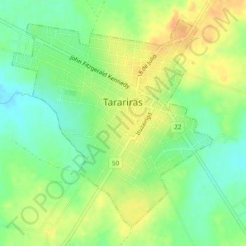
Name: Tarariras topographic map, elevation, terrain.
Location: Tarariras, Colonia, 70002, Uruguay (-34.27856 -57.62910 -34.25568 -57.60241)
Average elevation: 94 m
Minimum elevation: 76 m
Maximum elevation: 112 m