Geolocate

Pias topographic map

Click on the map to display elevation.

About this map

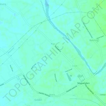
Name: Pias topographic map, elevation, terrain.

Location: Pias, Mapandan, Pangasinan, Ilocos Region, Philippines (16.02609 120.43318 16.04303 120.45312)

Average elevation: 11 m

Minimum elevation: 7 m

Maximum elevation: 16 m

Gear up for your next adventure:

🚗Car Camping Gear - Equipment for vehicle camping
📡Portable Emergency Radios - Stay informed about weather warnings and bushfire alerts
📟Satellite Messengers - Two-way satellite communication to stay in touch beyond the cellular grid
🥾Hiking Shoes - Lightweight hiking shoes for day hikes
☀️Portable Solar Chargers - High-efficiency panels to hang on your backpack while walking

As an Amazon Associate, this site earns from qualifying purchases at no extra cost to you.