
Cornwallis topographic map
Interactive map
Click on the map to display elevation.
About this map
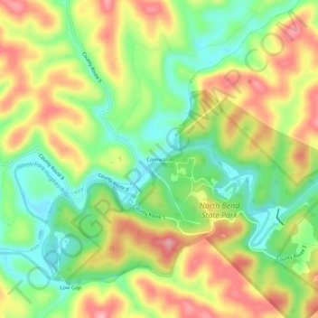
Name: Cornwallis topographic map, elevation, terrain.
Location: Cornwallis, Ritchie County, West Virginia, 26337, VS (39.20730 -81.13845 39.24730 -81.09845)
Average elevation: 265 m
Minimum elevation: 200 m
Maximum elevation: 340 m