
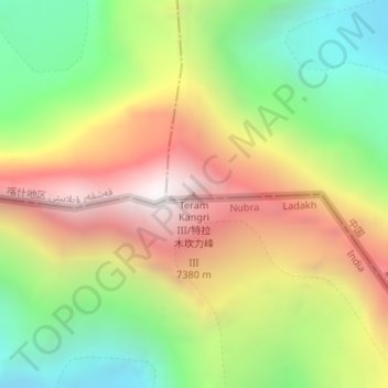
特拉木坎力峰 Ⅲ topographic map
Interactive map
Click on the map to display elevation.
About this map
Name: 特拉木坎力峰 Ⅲ topographic map, elevation, terrain.
Location: 特拉木坎力峰 Ⅲ, 叶城县, 喀什地区, 新疆维吾尔自治区, 中国 (35.60024 77.05105 35.60034 77.05115)
Average elevation: 6,433 m
Minimum elevation: 5,694 m
Maximum elevation: 7,279 m