Geolocate

鱼产 topographic map

Interactive map

Click on the map to display elevation.

About this map

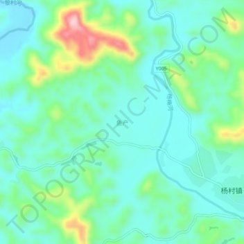
Name: 鱼产 topographic map, elevation, terrain.

Location: 鱼产, 容县, 玉林市, 广西壮族自治区, 543000, 中国 (22.59300 110.74400 22.63300 110.78400)

Average elevation: 172 m

Minimum elevation: 120 m

Maximum elevation: 331 m

Other topographic maps

Click on a map to view its topography, its elevation and its terrain.

容西镇

中国 > 广西壮族自治区 > 容县

容西镇, 容县, 玉林市, 广西壮族自治区, 543000, 中国

Average elevation: 124 m

红石

中国 > 广西壮族自治区 > 容县 > 红石

红石, 容县, 玉林市, 广西壮族自治区, 543000, 中国

Average elevation: 177 m

容县

中国 > 广西壮族自治区 > 容县

容县, 玉林市, 广西壮族自治区, 543000, 中国

Average elevation: 202 m