Geolocate

Seneca Rocks topographic map

Click on the map to display elevation.

About this map
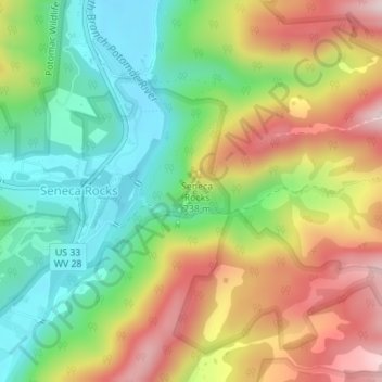
Name: Seneca Rocks topographic map, elevation, terrain.

Location: Seneca Rocks, Pendleton County, West Virginia, United States (38.83311 -79.36746 38.83627 -79.36525)

Average elevation: 623 m

Minimum elevation: 453 m

Maximum elevation: 845 m

Gear up for your next adventure:

🦘Outback Survival Gear - Essential gear for Australian outback
☀️Portable Solar Chargers - High-efficiency panels to hang on your backpack while walking
🧭Military Style Lensatic Compass - Durable sighting compasses for advanced land navigation and surveying
🦯Adjustable Trekking Poles - Reduce impact on knees when descending steep topographic ridges
📡Satellite Messengers - Emergency communication devices

As an Amazon Associate, this site earns from qualifying purchases at no extra cost to you.