
Łeba topographic map
Interactive map
Click on the map to display elevation.
About this map
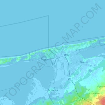
Name: Łeba topographic map, elevation, terrain.
Location: Łeba, powiat lęborski, Woiwodschap Pommeren, Polen (54.73734 17.49125 54.78334 17.67246)
Average elevation: 1 m
Minimum elevation: -5 m
Maximum elevation: 41 m