
San Miguel de Cañitas topographic map
Interactive map
Click on the map to display elevation.
About this map
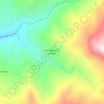
Name: San Miguel de Cañitas topographic map, elevation, terrain.
Location: San Miguel de Cañitas, Salinas, Guaranda, Bolívar, Ecuador (-1.36408 -79.21886 -1.32408 -79.17886)
Average elevation: 1,087 m
Minimum elevation: 662 m
Maximum elevation: 1,711 m