
Meadow topographic map
Click on the map to display elevation.
About this map
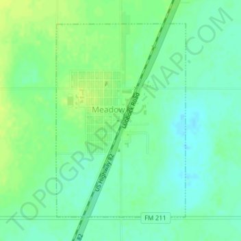
Name: Meadow topographic map, elevation, terrain.
Location: Meadow, Terry County, Texas, United States (33.32629 -102.21468 33.34802 -102.19726)
Average elevation: 1,015 m
Minimum elevation: 1,007 m
Maximum elevation: 1,022 m