
Ksar Berchid topographic map
Interactive map
Click on the map to display elevation.
About this map
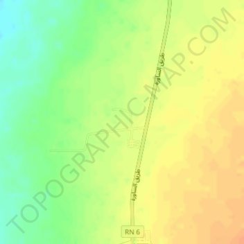
Name: Ksar Berchid topographic map, elevation, terrain.
Location: Ksar Berchid, Fenoughil, Daïra de Fenoughil, Adrar, Algérie (27.61938 -0.30851 27.62549 -0.30021)
Average elevation: 231 m
Minimum elevation: 211 m
Maximum elevation: 245 m