
Pleasant topographic map
Interactive map
Click on the map to display elevation.
About this map
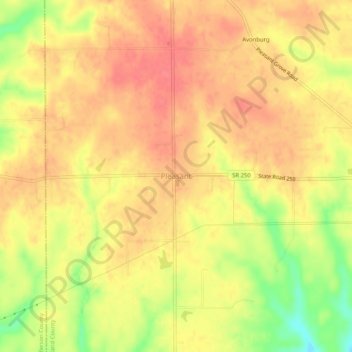
Name: Pleasant topographic map, elevation, terrain.
Location: Pleasant, Switzerland County, Indiana, 47224, United States (38.85089 -85.20384 38.89089 -85.16384)
Average elevation: 282 m
Minimum elevation: 241 m
Maximum elevation: 301 m