
Gotha topographic map
Interactive map
Click on the map to display elevation.
About this map
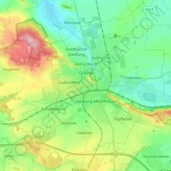
Name: Gotha topographic map, elevation, terrain.
Location: Gotha, Landkreis Gotha, Thuringe, 99867, Allemagne (50.89218 10.62230 50.99128 10.78184)
Average elevation: 320 m
Minimum elevation: 263 m
Maximum elevation: 442 m