
Ready topographic map
Interactive map
Click on the map to display elevation.
About this map
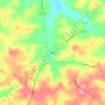
Name: Ready topographic map, elevation, terrain.
Location: Ready, Grayson County, Kentucky, United States of America (37.35172 -86.49137 37.39172 -86.45137)
Average elevation: 206 m
Minimum elevation: 146 m
Maximum elevation: 255 m