
Angas topographic map
Interactive map
Click on the map to display elevation.
About this map
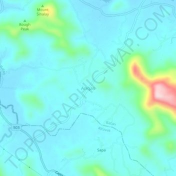
Name: Angas topographic map, elevation, terrain.
Location: Angas, Batan, Aclán, Bisayas Occidentales, Filipinas (11.51627 122.49996 11.55627 122.53996)
Average elevation: 46 m
Minimum elevation: 2 m
Maximum elevation: 298 m