
Byron topographic map
Interactive map
Click on the map to display elevation.
About this map
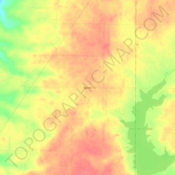
Name: Byron topographic map, elevation, terrain.
Location: Byron, Parke County, Indiana, United States (39.88365 -87.12557 39.92365 -87.08557)
Average elevation: 226 m
Minimum elevation: 186 m
Maximum elevation: 245 m
Other topographic maps
Click on a map to view its topography, its elevation and its terrain.
Mansfield
United States > Indiana > Parke County
Mansfield, Parke County, Indiana, United States
Average elevation: 196 m