
Aghbalou topographic map
Interactive map
Click on the map to display elevation.
About this map
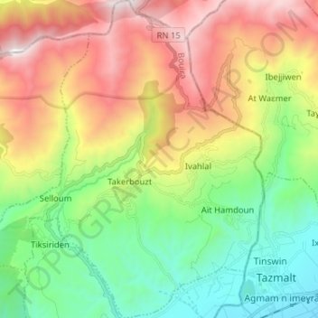
Name: Aghbalou topographic map, elevation, terrain.
Location: Aghbalou, Daïra M'Chedallah, Bouira, 10007, Algérie (36.37542 4.28122 36.47860 4.39509)
Average elevation: 927 m
Minimum elevation: 251 m
Maximum elevation: 1,940 m