
La Floresta topographic map
Interactive map
Click on the map to display elevation.
About this map
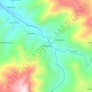
Name: La Floresta topographic map, elevation, terrain.
Location: La Floresta, Nanegal, Quito Canton, Pichincha, Ecuador (0.10697 -78.68211 0.14697 -78.64211)
Average elevation: 1,322 m
Minimum elevation: 1,056 m
Maximum elevation: 1,782 m