
84051 topographic map
Interactive map
Click on the map to display elevation.
About this map
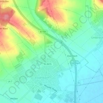
Name: 84051 topographic map, elevation, terrain.
Location: 84051, Essenbach, Landkreis Landshut, Bayern, Deutschland (48.61978 12.22063 48.61988 12.22073)
Average elevation: 408 m
Minimum elevation: 379 m
Maximum elevation: 473 m