
大河塔镇 topographic map
Interactive map
Click on the map to display elevation.
About this map
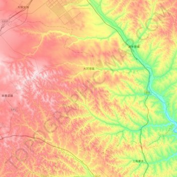
Name: 大河塔镇 topographic map, elevation, terrain.
Location: 大河塔镇, 榆阳区, 榆林市, 陕西省, 中国 (38.30782 109.93072 38.61749 110.40512)
Average elevation: 1,150 m
Minimum elevation: 870 m
Maximum elevation: 1,398 m