
Boncelles topographic map
Interactive map
Click on the map to display elevation.
About this map
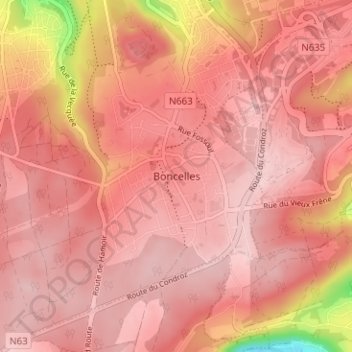
Name: Boncelles topographic map, elevation, terrain.
Location: Boncelles, Seraing, Liège, Wallonie, 4100, Belgique (50.55028 5.51785 50.59028 5.55785)
Average elevation: 234 m
Minimum elevation: 78 m
Maximum elevation: 275 m
Other topographic maps
Click on a map to view its topography, its elevation and its terrain.