
South Wazīristān Agency topographic map
Interactive map
Click on the map to display elevation.
About this map
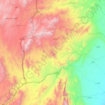
Name: South Wazīristān Agency topographic map, elevation, terrain.
Average elevation: 1,371 m
Minimum elevation: 187 m
Maximum elevation: 3,420 m
Other topographic maps
Click on a map to view its topography, its elevation and its terrain.
Wana
Pakistan > Division de Dera Ismail Khan
Wana, Division de Dera Ismail Khan, Khyber Pakhtunkhwa, 29540, Pakistan
Average elevation: 1,432 m