
Tahuania topographic map
Interactive map
Click on the map to display elevation.
About this map
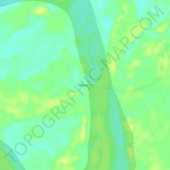
Name: Tahuania topographic map, elevation, terrain.
Location: Tahuania, Tahuanía, Atalaya, Ucayali, Perú (-10.10118 -74.00612 -10.06118 -73.96612)
Average elevation: 173 m
Minimum elevation: 164 m
Maximum elevation: 183 m
Other topographic maps
Click on a map to view its topography, its elevation and its terrain.