
River Valley topographic map
Interactive map
Click on the map to display elevation.
About this map
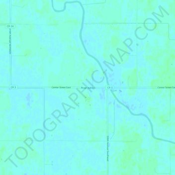
Name: River Valley topographic map, elevation, terrain.
Location: River Valley, Pennington County, Minnesota, USA (48.00024 -95.80224 48.04024 -95.76224)
Average elevation: 353 m
Minimum elevation: 351 m
Maximum elevation: 357 m